In Cameroon, there is strong need to get the population involved in environmental protection since a majority of the population relies on subsistence agriculture livelihood. Through ignorance or in difference we can do massive or irreversible harm to the environment in which our lives and wellbeing depends on.
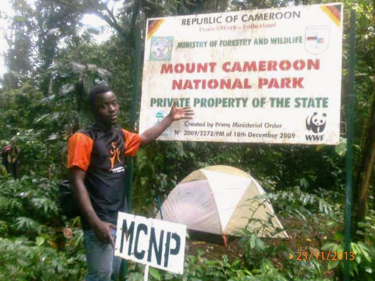
Research activities around the Mount Cameroon National Park have largely focused on wildlife trends. However, human activities account for the most damage done to the ecosystem of this protected area. In this way, there is a need for a research to investigate the level of anthropogenic encroachment in the Mount Cameroon National Park (MCNP) to map out the actual size of the farms inside the National Park, their spatial patterns, and risk post by these human action on the biodiversity of the park. The results of this survey are to give answers on priority intervention areas according to the level and size of the forest encroachment. It will also examine the land used changes around the park, and how these have affected resource use patterns, forest cover and the biodiversity of the area. The land use changes will be determined by Global positioning System (GPS) ground survey, satellite imagery of Landsat 2010, while the impact will be determine using ground survey observation, discussions, secondary data collection and structural interviews. This research seeks to verify the major problem of What kind/types of forest encroachment with what kind of area size can be found inside the MCNP Park? How severe/ risky are these encroachments on the Flora and Fauna? What are the priority intervention areas in MCNP in respect to the forest encroachment? The researcher objectives are; To find out what kind of human activities are contributing to encroachment in the form of vegetation/wildlife loss in MCNP and to what extent; to map out the current status of forest encroachment by using Remote Sensing, GPS and GIS; to design a GIS database with information on the types, location, size of encroachment, land cover and animal habitat data; to know the state, rate and the priority intervention areas with respect to forest encroachment in the park; and to understand the reasons for the rate of encroachment in the park and to get a sustainable solution to encroachment in the protected area .
This award was supported by JRS Biodiversity.